
A full-size copy can be downloaded here.
Anyone interested in colonial (or early-modern) era buildings absolutely must check out the site Colonial Korea, which is full of not just detailed information and incredible photos, but also maps showing how to find the buildings in 10 different cities / towns in southern South Korea. (Hat tip to Robert Koehler for pointing this site out.)
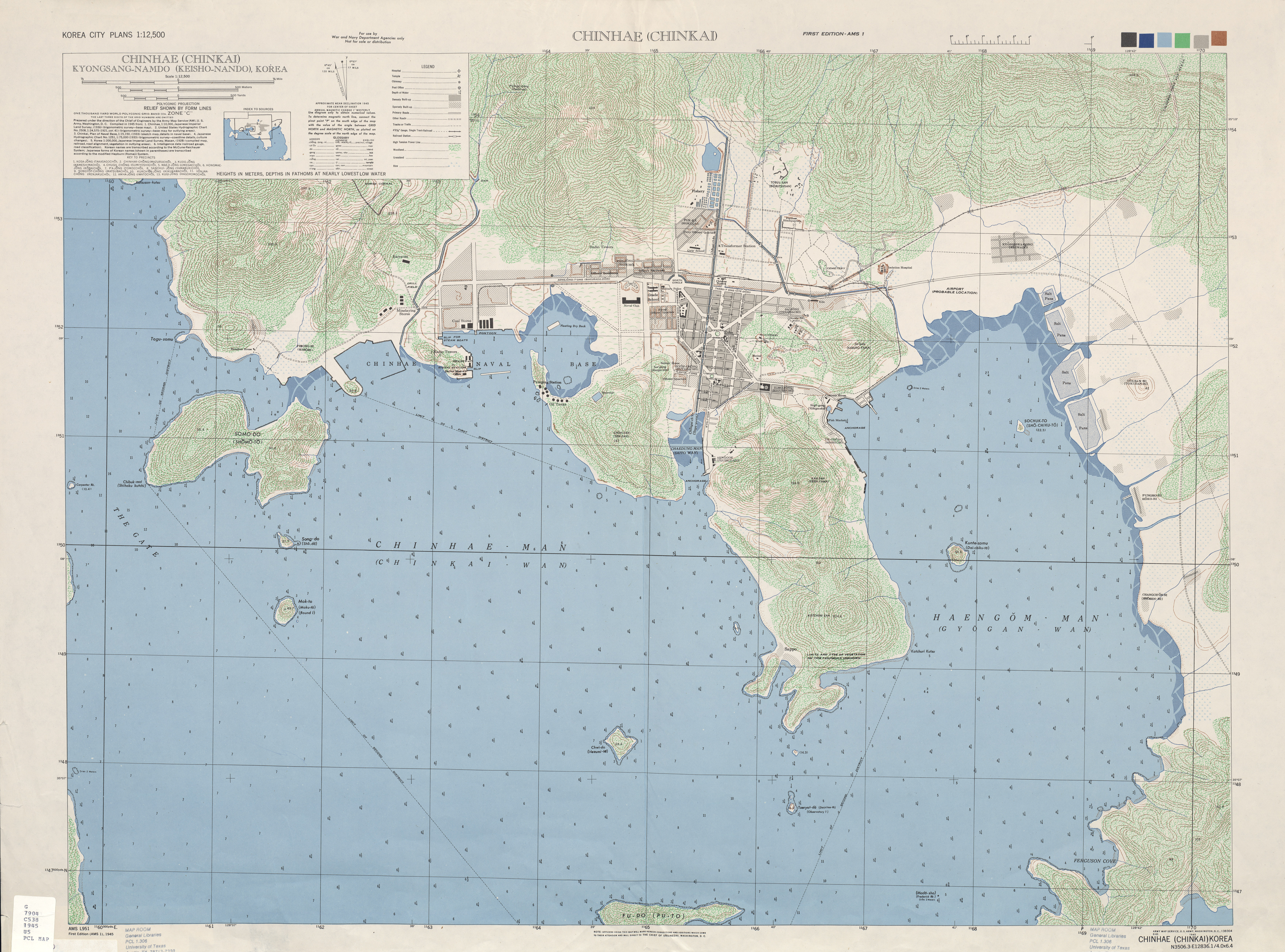
On a related note, there are several colonial-era photos and maps of Jinhae here and here, respectively. Included in the first link is this incredible panorama of Jinhae from the early 1920s, about 15 years after the Japanese built a naval base and city there. Since they were able to build the city from scratch, they could create the 'hub and spoke' street system the wanted for Seoul but were unable to accomplish (see Todd Henry's book Assimilating Seoul or his chapter "Respatializing Chosôn’s Royal Capital: The Politics of Japanese Urban Reforms in Early Colonial Seoul, 1905-1919" in Sitings: Critical Approaches to Korean Geography, which can be found here). A 1946 map of Jinhae can be found here. Also, photos of a colonial-era air raid shelter can be found here. A similar tunnel can be found on the U.S. base in Jinhae, as can remains of underground stockades and a Koi fish pond.
No comments:
Post a Comment